Pin Parvati Pass
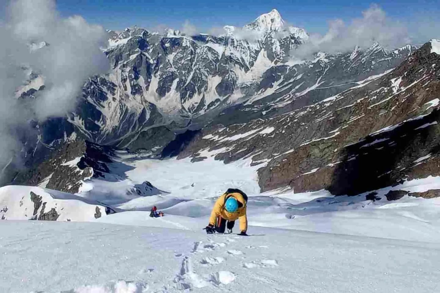
Pin Parvati Pass is one of the most challenging and adventurous treks in the Himalayas. It connects the fertile, green Parvati Valley in Kullu with the cold, arid Pin Valley in Spiti. Crossing this pass requires walking over massive glaciers, negotiating wide crevasse fields, and enduring harsh weather at 17,457 feet.
Embark on the ultimate trans-Himalayan expedition through crevasse fields and raw volcanic rocks.
Cross the trans-Himalayan divide at 17,457 feet.
Camp at the high-altitude glacial lake of Mantalai.
Walk through the desolate Spiti cold desert and volcanic mountains.
Bathe in the natural hot sulphur springs of Kheerganga.
Witness the ultimate wilderness challenge of the Himalayas.
Elevation Chart
Itinerary Details
Drive to Barshaini and trek through thick forests and waterfalls to camp at the Kheerganga hot springs.
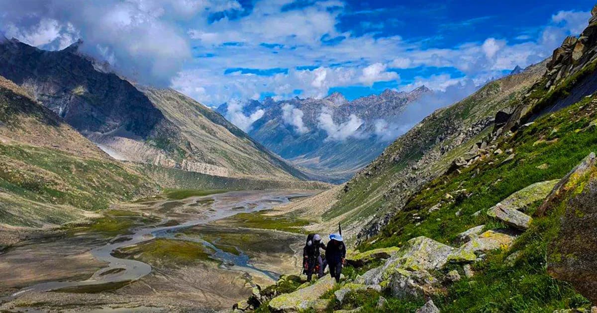
Trek through pine trees and cross wooden bridges over the roaring Parvati River to reach Tunda Bhuj meadows.
Cross the natural rock bridges (Pandu Ropa) and traverse high mountain ledges to reach Thakur Kuan pasturelands.
Walk through loose scree and cross river beds to reach Odi Thach camp, a wide plateau underneath high cliffs.
Ascend gradually to the sacred Mantalai Lake, the source of the Parvati River, surrounded by massive glaciers.
A steep, strenuous climb over moraines and glacier trails to reach the cold, high-altitude Parvati Base Camp.
Summit day. Start at 2 AM. Navigate wide crevasse fields on the glacier, cross the 17,457 FT pass, and descend steeply into Spiti to reach Pin Base Camp.
Trek down the barren valley of Spiti along the Pin River to the pasture land of Wichkurung Ich.
Trek to the isolated mountain outpost of Mudh Village, then drive to Kaza town for a warm bed.
Drive back to Manali over the high Kunzum Pass and through the Atal Tunnel, completing the trans-Himalayan adventure.
Packing List
Click once to mark as packed · click again to mark as not needed · click again to clear. Use the pencil icon to add your own notes or alternatives.
Progress is saved automatically and persists on revisit.
What is included
- IMF-certified expedition guides & high-altitude porters
- Expedition tents, specialized sub-zero sleeping bags
- All nutritious meals and emergency survival rations
- Permits for national park and military checkpoints
- Emergency satellite communication and GPS tracking
What is excluded
- Technical climbing boot rentals
- Evacuation and emergency medical expenses
- Personal trekking insurance (mandatory)
Gallery
Includes all tents, food, permit taxes